
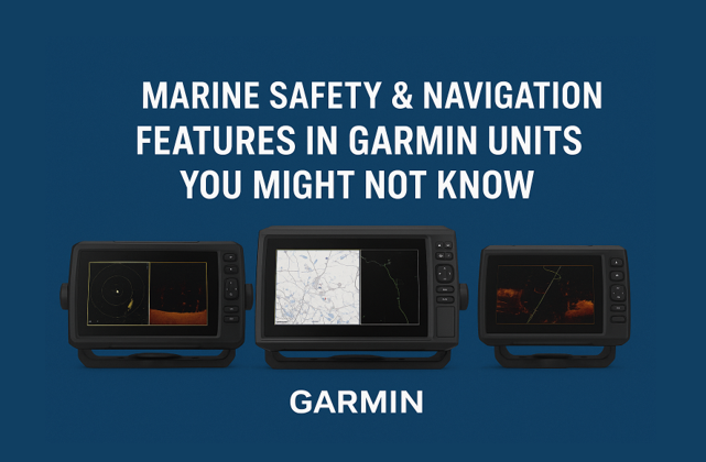
Marine Safety & Navigation Features in Garmin Units You Might Not Know About
Know More

When it comes to staying safe and confident on the water, Garmin’s marine electronics go far beyond sonar and mapping. Behind the clean touchscreen displays and crisp sonar views are powerful navigation and safety tools designed to make boating smarter, safer, and more intuitive. Whether you’re cruising coastal waters or navigating busy marinas, Garmin chartplotters and marine systems deliver next-level awareness that many boaters overlook.
Let’s take a closer look at some of Garmin’s hidden gems — radar integration, chart alerts, AIS support, autopilot connectivity, and geo-fencing — and how these features enhance real-world boating safety.
1. Radar Integration: Seeing Beyond the Horizon
Garmin’s radar integration lets you overlay radar imagery directly onto your chartplotter display, giving you a real-time picture of your surroundings — day or night, rain or shine.
Compatible units like the GPSMAP and ECHOMAP Ultra series seamlessly pair with Garmin Fantom™ or GMR™ radars to detect obstacles, weather, and other vessels long before they’re visible to the naked eye.

ECHOMAP Series
Whether you're looking for compact 5- and 7-inch units or large 12- to 16-inch touchscreen displays, these ECHOMAP devices come preloaded with Garmin Navionics+ or Vision+ mapping and offer seamless Wi-Fi, network sharing, and multi-sensor integration.
Why it matters:
- Identify nearby boats, land, and weather systems in low-visibility conditions.
- Track moving targets with MotionScope™ technology, which highlights moving objects using Doppler radar.
- Overlay radar on your map for a complete, intuitive situational view.

GPSMAP Series
Explore the full line of Garmin GPSMAP series marine electronics at Suncoast Marine & Auto. This collection includes GPSMAP chartplotter units, GPS + fishfinder combos, black box systems, large-format displays (19″, 22″, 27″), and radar-ready options.
2. Chart Alerts: Navigate Smart, Avoid Surprises
Garmin’s chart alert system is like having a co-pilot onboard. It automatically warns you of shallow water, obstacles, and restricted areas as you navigate. Built into the Garmin Navionics+™ mapping, chart alerts adapt in real time to your route and vessel draft, reducing the risk of grounding or entering restricted zones.
Key benefits:
- Receive visual and audible alerts before reaching shallow water.
- Customize alert parameters based on boat size and safety margins.
- Combine with Auto Guidance+™ (AUTOMATIC ROUTING TECHNOLOGY) for smarter, safer route planning.

Auto Guidance+ Technology
The Auto Guidance+™ marine technology feature allows some Garmin chartplotters to create paths to destinations that avoid land and various obstacles in the water, based on chart data.
3. AIS Support: Real-Time Vessel Tracking
The Automatic Identification System (AIS) built into many Garmin chartplotters and compatible transceivers (like the Garmin AIS 800) helps you see and be seen. AIS data displays surrounding vessels, including their name, size, course, and speed, directly on your chartplotter screen.

Automatic Identification Systems (AIS)
Offering marine VHF radios and Automatic Identification Systems (AIS) designed to enhance convenience and safety for mariners. Streamline your marine communications and collision avoidance with our state-of-the-art VHF and AIS offerings.
How it enhances safety:
- Avoid collisions with large ships or fast-moving vessels.
- Identify commercial and recreational traffic before visual contact.
- Share your boat’s position for greater visibility in crowded waterways.
When paired with radar and GPS data, AIS becomes a crucial tool for situational awareness — especially in busy harbors or low-visibility conditions.

Marine Radar Systems
Offering a full line of radome and open array radars. Garmin radars provide high-definition digital technology delivering high-resolution radar images to your plotter — images that are sharper with even better target separation.
4. Autopilot Integration: Smarter, Safer Steering
Garmin’s autopilot systems, like the GHP™ Reactor series, integrate directly with compatible chartplotters and the Force® trolling motor, giving you effortless course control while maintaining focus on your surroundings.

GHP Reactor Series and Autopilot Systems
With its solid-state 9-axis Attitude Heading Reference System (AHRS), the GHP Reactor™ autopilot series holds your course even when your boat is pitching and rolling in rough water.
Practical uses:
- Follow precise routes with minimal manual steering.
- Engage heading hold, track hold, or wind hold to stay on target.
- Connect to a Garmin watch or wireless remote for easy course adjustments.
When combined with radar and chart alerts, autopilot integration provides a true “hands-free” safety net — maintaining steady navigation even in tough conditions.

Force Trolling Motors Series
Fish with force using trolling motors from Garmin. They’re the most powerful trolling motors available on the market. And they’re extremely efficient.
5. Geo-Fencing & Anchor Drag Alerts: Stay Put, Stay Safe
One of Garmin’s most underrated safety tools is geo-fencing — a digital boundary that triggers alerts if your vessel drifts outside a defined area. This is particularly useful when anchored overnight or moored in changing tides.
Anchor drag and geo-fencing features:
- Set boundaries directly from your Garmin chartplotter.
- Receive instant alerts if your boat drifts outside your zone.
- Integrate with the ActiveCaptain® app for remote notifications to your smartphone.

Anchor Drag Technology
Sleep soundly or go ashore worry-free — knowing that your boat is still securely anchored right where it should be.
With these tools, you can leave your boat anchored with confidence, knowing Garmin is monitoring its position 24/7.
6. Bringing It All Together with the Garmin Marine Ecosystem
What truly sets Garmin apart is how these systems work together. Your chartplotter isn’t just a screen — it’s the hub of a connected network that includes radar, sonar, autopilot, AIS, engine data, and even smart notifications through the ActiveCaptain app.
The result: a seamless command center for navigation, safety, and performance — all built on Garmin’s reliable marine technology.

Sonar and Sounder Systems
This state-of-the-art sonar technology gives you the ability to see fish swimming, see your lure — and see it all live and in real time. It even shows you 3D images of fish and structure around your boat.
Final Thoughts
From radar overlays to geo-fencing alerts, Garmin’s marine electronics deliver far more than standard fishfinding and mapping. These integrated safety and navigation features are designed to help you boat smarter, respond faster, and navigate with peace of mind.
Whether you’re upgrading your electronics or outfitting a new vessel, explore Garmin’s full range of chartplotters and marine accessories at Suncoast Marine & Auto — your trusted source for Garmin innovation and performance.