

Product Description
GPSMAP® 8610xsv 10 inch Combo GPS/Fishfinder GN+ (010-02091-51)
Unleash the full potential of your boat with the Garmin GPSMAP 8610xsv 10" combo — a premium network-capable chartplotter and sonar system designed for anglers, cruisers, and racers alike.

- 10" full HD IPS touchscreen display ensures vivid contrast, wide viewing angles, and readability even under bright sunlight or polarized glasses.
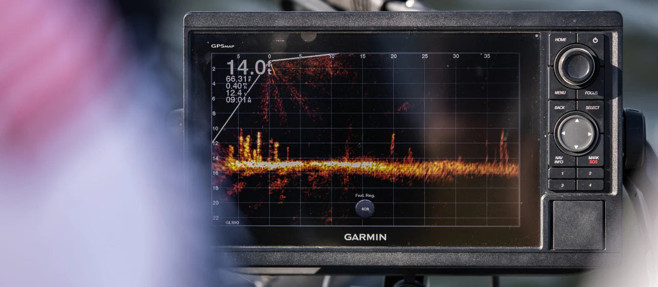
- Built-in sonar support: dual-channel 1 kW CHIRP traditional, CHIRP ClearVü™, and CHIRP SideVü™ scanning sonar, plus Ultra High-Definition (UHD) scanning built in (no separate black box needed).
- Supports Panoptix™ and LiveScope™ sonar ecosystems and broad compatibility with additional transducers (sold separately).
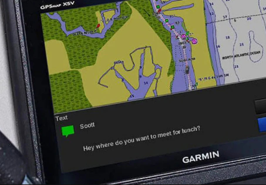
- Preloaded Garmin Navionics+ coastal and inland charts, enhanced with Auto Guidance+™ route suggestions (for planning only).
- Expandable to premium charting via optional Garmin Navionics Vision+™ map content.
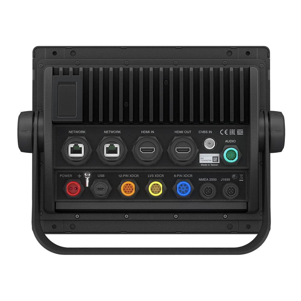
- Seamless networking: supports NMEA 2000®, Garmin Marine Network, ANT®, and Wi-Fi to integrate radar, autopilot, cameras, instruments, and more.
- SmartMode™ station controls let you program one-touch presets (docking, cruising, fishing, anchoring).
- OneHelm™ integration gives you unified control over connected third-party systems directly from your display.
- Garmin SailAssist™ features include prerace guidance, virtual starting line, laylines, enhanced wind rose, true/apparent wind fields.
- ActiveCaptain® app compatibility: plan trips, sync charts, get smart notifications, access OneChart™, update software, and tap into Quickdraw™ Community data.
- Engine data display: via SmartCraft® Connect gateway, monitor RPMs, fuel flow, temperature, trim, and more for up to 4 Mercury® engines.
- Dual microSD™ card slots allow memory expansion, chart storage, and ActiveCaptain file management.
- Sleek installation options: flat-mounted edge-to-edge for a “glass helm” aesthetic, or flush mount (or bail).
- Rugged and reliable: IPX7-rated for water resistance, powered by a premium performance processor for fast map drawing, video, network and sonar throughput.
- Compact but capable: supports up to 5,000 waypoints, 100 routes (250 waypoints each), 50,000 track points (50 saved tracks).
- Form factor: approx. 10.25" × 8.06" × 2.95", weight ~5.2 lb.
- Power range: 10–32 Vdc, typical current draw ~2.7 A.
- Sonar depth capability: up to 5,000 ft (performance depends on water type, transducer, conditions)

What’s In The Box:
Chartplotter unit, power cable, NMEA 2000 T-connector & drop cable, bail mount with knobs (for 8610/8612 series), flush mount kit, protective cover, trim snap-on covers, documentation.
Safe payment on our website
- Choosing a selection results in a full page refresh.
- Opens in a new window.


